Great River Trail, Wisconsin
Lytle's Landing to Trempeleau Wildlife Refuge
Photo Page 2
(click on any picture to enlarge)
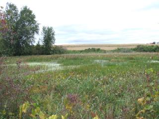
For the next couple miles past Lytle's Landing, it is almost entirely marshland. At this particular location, you start to see more farmland.
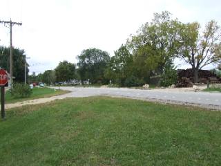
Hwy 35 heading into Trempeleau.
The trail crosses a half dozen streets in Trempeleau, so its good to be cautious. Hwy 35
is by far the most dangerous.
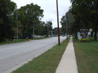
The main drag in Trempeleau.
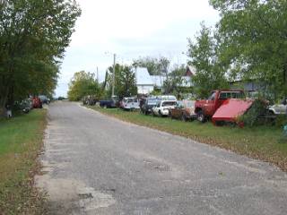
A junkyard just off the path in Trempeleau.
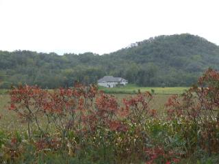
A large home nestles into the hills behind the first colored leaves of fall.
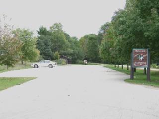
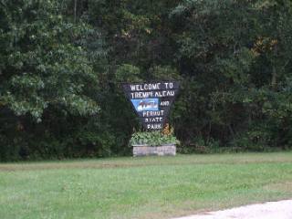
Entrance to Perrot State Park. This could be an interesting side trip and has access to bluffs and locks on the Mississippi River.
Back on the trail at Perrot State Park.
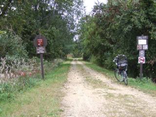
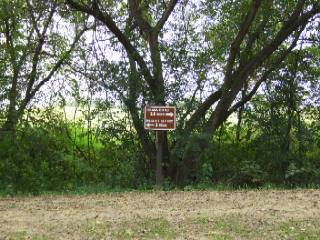
Bicycle access to Perrot State Park
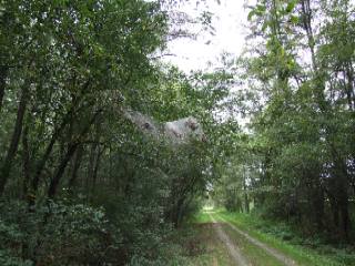
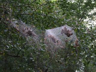
Moth nests along the trail.
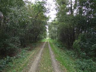
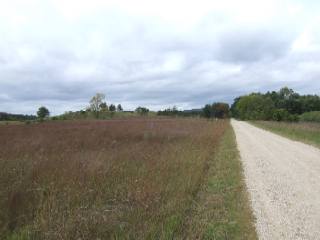
Typical view of the trail north of Trempeleau.
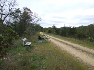
Park benches are situated in strategic places throughout the trail. This is where I stopped and had lunch and listened to various bird calls. I wish I knew what kind of birds were making all the calls. I thought I heard some Loons, but I couldn't be sure.
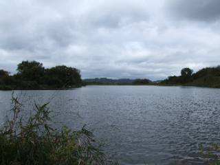
This pond is just inside the Trempeleau National Wildlife Refuge.
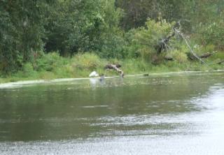
A grey and white Heron look for food.
The trail inside the refuge is shared access with motor vehicles. The large gravel makes for a hard and bumpy ride. Hybrid or mountain tires are recommended.
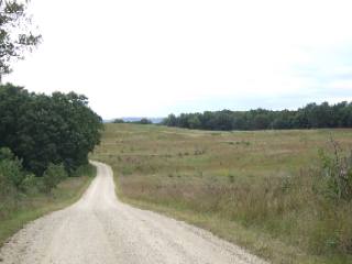
Looking south from a ridge inside the refuge. This is where I turned around. I was disappointed in the condition of the trail at this point and decided to hightail it back to beat the impending rain.
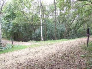
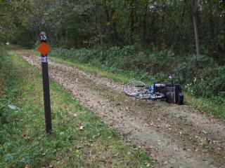
Crash scene: Lucky mile marker 13.
I had just passed Trempeleau, I was cruising along, and not paying a whole lot of
attention when I noticed the 13 mile marker. I thought it would be a good time to stop and
set my secondary odometer and check the calibration. I hit the brakes too hard and fell
right down. This is where I discovered that wet leaves on top of mud do not provide much
traction. (Doh!). If you look closely in the large picture, you can see where the handle
bars are completely turned around backwards. I only scraped my right knee a little, but I
didn't have any bandages and I couldn't stop the bleeding. Fortunately, I was close to
Trempeleau, so I turned around and went into town to the Marathon gas station. A couple of
nice ladies provided me with some bandages, and I got back on the trail to finish this
excursion.
Here is the September 2006 photo tour of the Great River State Trail from Onalaska, Wisconsin to the Trempeleau National Wildlife Refuge.
Great River Trail Photos 1 - Onalaska to Black River
Great River Trail Photos 2 - Trempeleau Wildlife Refuge < you are here2006 Photos © Copyright Dale Kiffel
Below is the May 2014 photo tour of the Great River State Trail from the Trempeleau National Wildlife Refuge to Onalaska and then on to West Salem on the LaCrosse River Trail.
Great River Trail Photos 3 - New Salem, Lake Onalaska
Great River Trail Photos 4 - Tree Tunnels and Thru Trempeleau
Great River Trail Photos 5 - Wet Lands and Black River Bridge
Great River Trail Photos 6 - Midway and Lake Onalaska
Great River Trail Photos 7 - Onalaska and LaCrosse River Trail2014 Photos © Copyright Rob Chapman
