Long Prairie Trail Photos
Starting at County Line Road
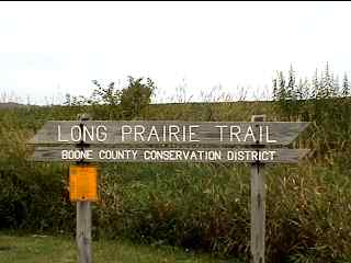
Here's the start of the Long Prairie bike trail off of County Line Road, west of Harvard, Il. and east of Capron Il. This is the eastern end of the trail. This County Line Road runs between McHenry County (to the east) and Boone County (to the west). We will be heading west (in Boone County) towards Capron.
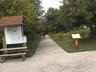
The trail head here has a parking, trail information and a map. One of the nice things about this trail is that it is all paved (until it connects to the crushed stone Stone Bridge Trail) and it is also a very flat and easy ride.
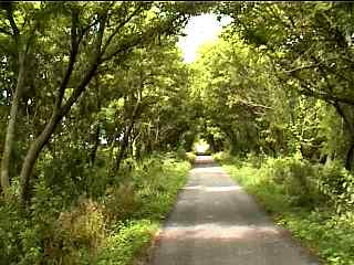
There is a pretty nice tree cover on a good part of this trail. Here is what some of the "tree tunnels" look like as you ride on the trail. This part of the trail is still east of Capron. In these early bike trail photos I used to take most of my photos while riding. I still do that occasionally but most of the time now I stop and try to setup better shots.
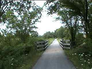
Here's a bridge that leads out into some of the open prairie scenes along this path. This trail is mostly a combination of open prairies and wooded areas. We passed by some picnic tables right next to the path before we reached this bridge so there are plenty of places to take a break too if necessary.
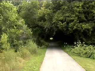
A short while after our ride in the open prairie part of the trail we came to another (darker looking) tree tunnel.
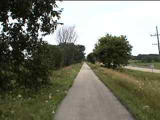
After passing through the town of Capron we came to another open part of the trail that ran alongside the highway. The road on the right is Route 173. The Long Prairie Trail runs parallel to Route 173 for a few miles after going through Capron (heading south west).
The photo tour of the Long Prairie Trail, from County Line Road (near Capron) to Roland Olson Forest Preserve. These pictures are from August (2003).
Long Prairie Trail Photos 1 - Starting at County Line Road < You are here
Long Prairie Trail Photos 2 - Through Poplar Grove
Long Prairie Trail Photos 3 - Into Roland Olson Forest Preserve